A guide to outdoor adventures through the natural beauty of the Western North Carolina mountain range . . .
Spanning from Georgia to Pennsylvania, The Blue Ridge Mountains represent the eastern face of Appalachia. This region attracts millions of visitors each year in search of outdoor adventures in a wonderous environment. In this article, I focus on the North Carolina section of this wonderous mountain range.
A Guide to Outdoor Adventure in Western North CarolinaIt is quite possible that the Blue Ridge Mountains could best be described as a hikers paradise. These lush forests provide a seemingly endless variety of flora and fauna that would keep any nature enthusiast busy for a lifetime. In this article, I will highlight a few of my favorite hiking destinations throughout this amazing region.
Along the Tennessee State Line
Along the Tennessee State Line
Hot Springs
We'll begin this exploration not far from my home, just across the Tennessee state line. Nestled upon The French Broad River, Hot Springs, North Carolina gets its name from geothermal waters that spout up from below. The community has taken advantage of this natural wonder by directing this steamy hot mineral water into tubs that tourists and locals enjoy year round.

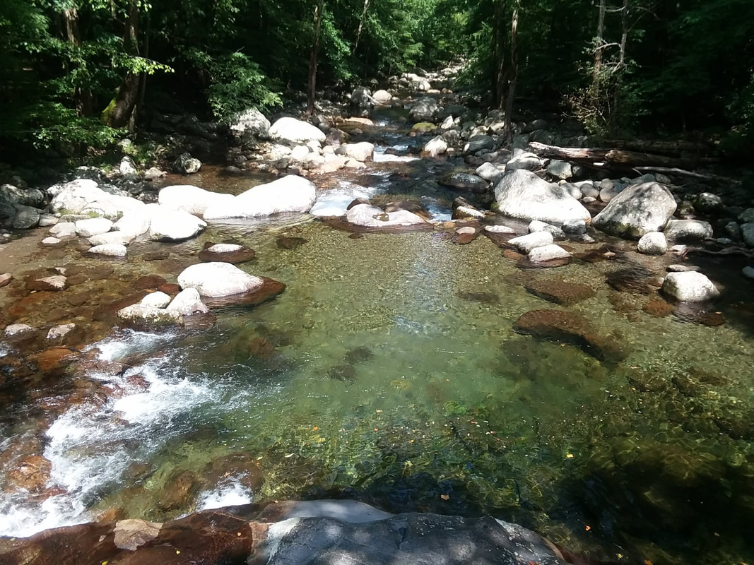
The French Broad River
The tiny town of Hot Springs likes to jokingly (and proudly) apply to itself the moniker, "Mayberry Meets The Twilight Zone". After you've spent a bit of time here, you will most certainly agree, as you fall in love with its quirky vibes and laid back hippy-like attitude.
Waterville & Big Creek
Along Interstate 40 and right up against North Carolina's border with Tennessee, is Waterville Road. This is the exit you will take to the area known as Big Creek. Nestled here on the edge of The Smoky Mountains, you will find rustic camping, multiple swimming holes, and several hiking trails. This hidden gem of the region is growing in popularity, so if you want a campsite it is important to book in advance.

The locals will kill me for disclosing the location of this hidden treasure, but here it is.
Take the Big Creek Trailhead if you want to check out one of the grandest swimming holes in all of Appalachia. About a 1.5 mile hike will bring you to The Midnight Hole. The waters run deep and cold at the base of this dual waterfall. All day long people line up to climb, jump, swim, and repeat. Just leave room for the locals … we love this place.

The Midnight Hole
Along The Blue Ridge Parkway
Spanning through the western parts of North Carolina and Virginia, and stretching over 400 miles, The Blue Ridge Parkway passes through areas of this region where there are many adventures to be had. Beginning in the south and working our way up, I will share with you a few of those must see experiences to add to your bucket list.
Graveyard Fields
This interesting location gained its title from an ancient wind storm that uprooted the spruce trees leaving behind stumps that would create moss covered mounds over the years. This caused landscape to have a bumpy surface that was thought to look like a burial site. It was in 1925 that a forest fire once again devastated the area. It has since become a popular attraction along the much travelled parkway.

Though the natural disasters that this have plagued this unfortunate site are apparent, you will notice many signs of a thriving eco system that is attempting to overcome its horrible past. New types of vegetation have replaced the original forest. This video provides a brief tour of Graveyard Fields, but doesn't quite do it justice.
Craggy Gardens
While traveling The Blue Ridge Parkway, you may notice multiple pull off areas featuring locations in the Craggy Gardens area. Northbound, the first you will see is a small dirt parking lot with a trailhead. Go on a bit further, and you will see the Craggy Gardens Picnic Area. The next one is the visitor center, this is where I began.
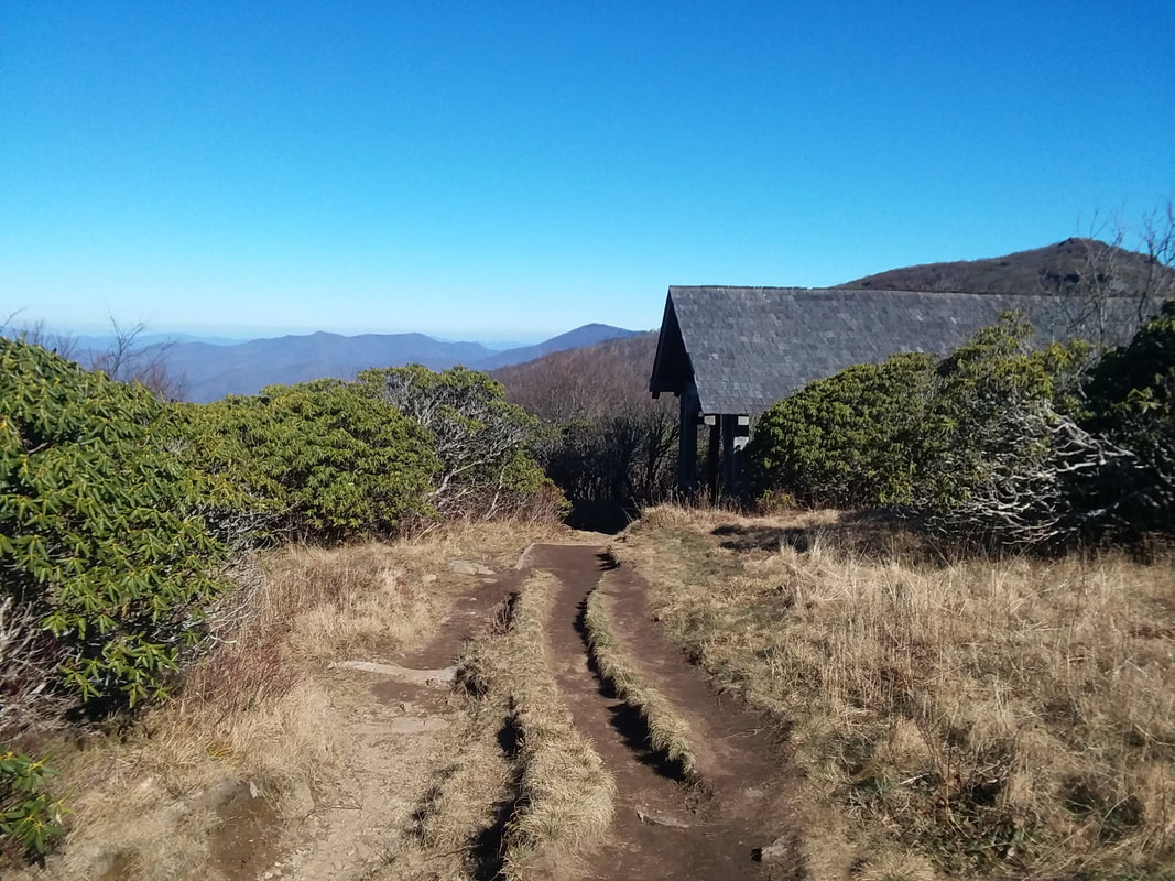
After relaxing in the fields of Craggy Gardens, you may want to proceed on up to the next parking lot for a trek to the top of Craggy Pinnacle. The pleasant uphill trail will take you to the summit where you will enjoy a 360 degree view of the surrounding environment. If you continue exploring, a side trail will grant you access to the lower (and more secluded) observation area that you just may be fortunate enough to have all to yourself.
Mount Mitchell
The turn to our next exciting destination is only about 14 miles to the north-east of Craggy Gardens. At 6,684 feet above sea level, Mount Mitchell is the tallest peak in the United States east of the Mississippi River. While the summit may be the main attraction, there are many points of interest along the upward road. This includes a visitor center with restrooms, as well as access to the many hiking trails of the area.
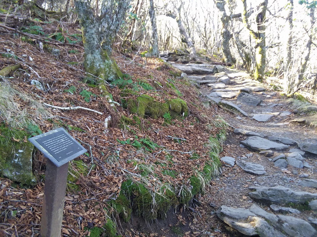
After marveling at the surrounding mountains from top of the observation platform, you should take the Balsam Nature Trail back down to the upper parking lot. This is a fairly easy hike of about 3/4 of a mile that is posted with educational material on the forest and its inhabitants. Just be sure you keep to the left, or you may end up at the nearby Black Mountain Campground.
Bonus:
While on this journey through the Blue Ridge Mountains, you definitely don't want to pass up the chance to visit Grandfather Mountain. There is so much to do here, that I have given this exciting location its own page. Enjoy! 
You may also enjoy my
Outdoor Guide to The Smokies
0 Comments
Your comment will be posted after it is approved.
Leave a Reply. |
Author:Chris J. Baxter ("Siege") is an experienced world traveler with backgrounds in Anthropology, Archaeology, and Tourism. He also tends to display an unquenchable thirst for adventure. 
Search below for other exciting adventures!
|